Scottish Settlements Urban and Rural Areas in Scotland
Scottish Settlements Urban and Rural Areas in Scotland
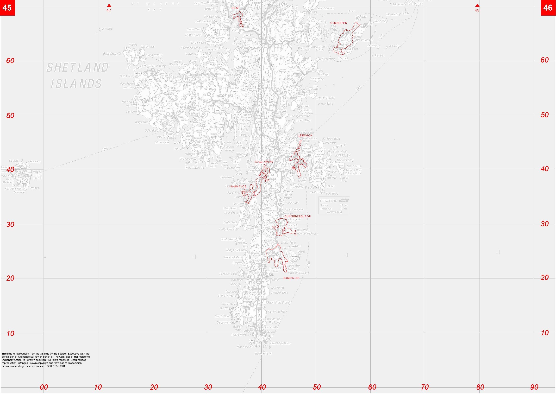
Settlement Mapping
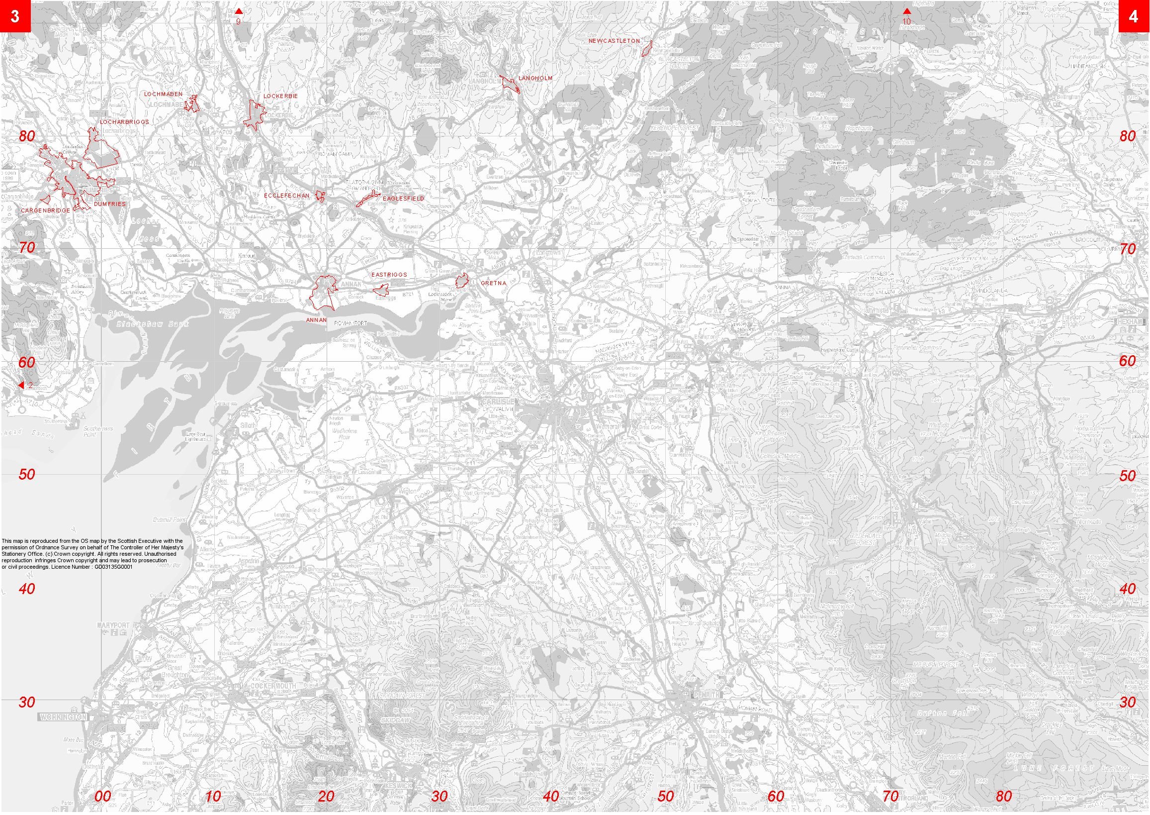
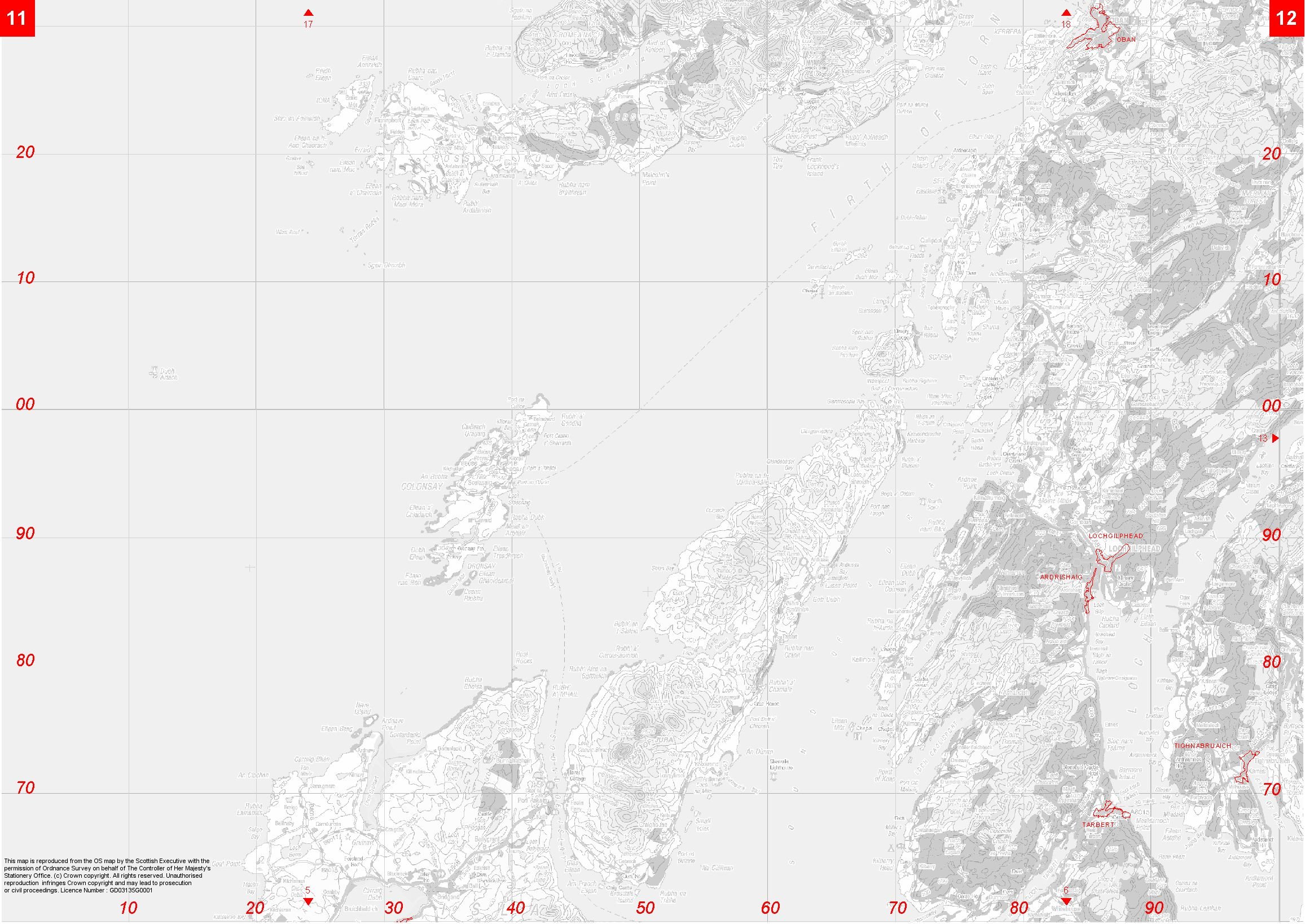
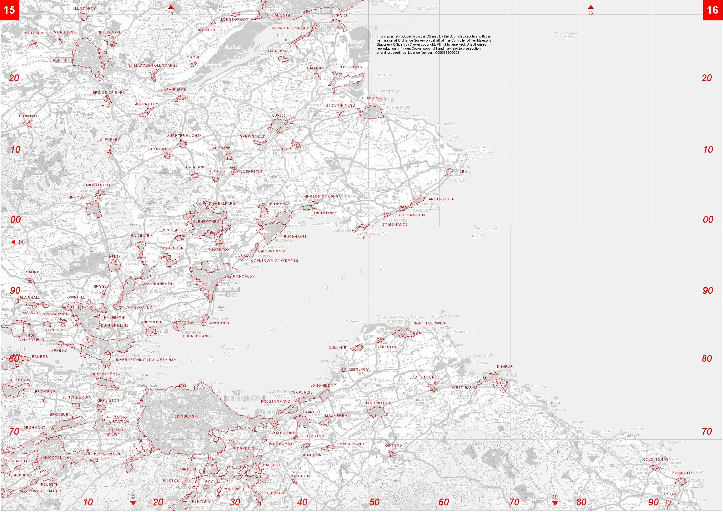
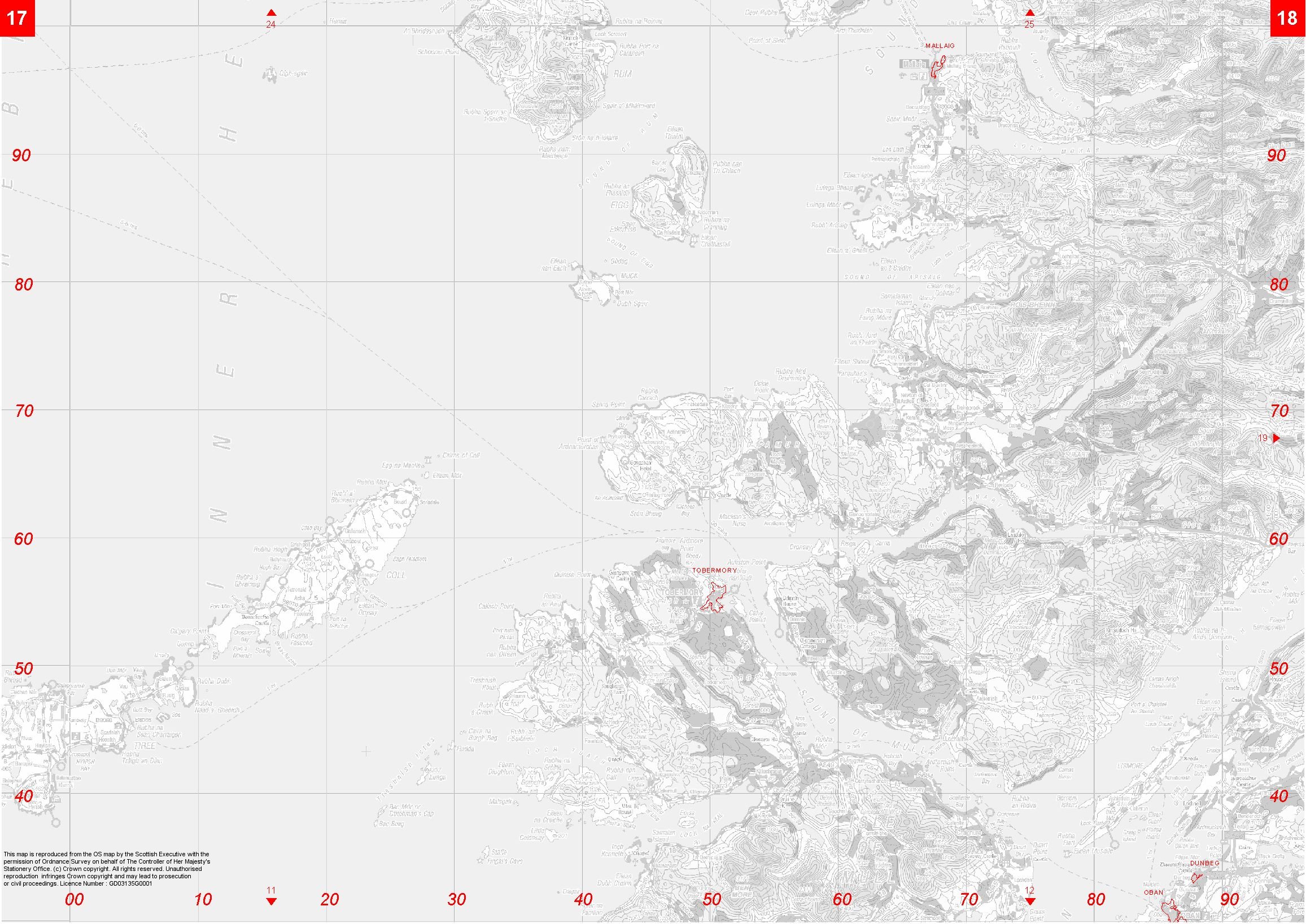
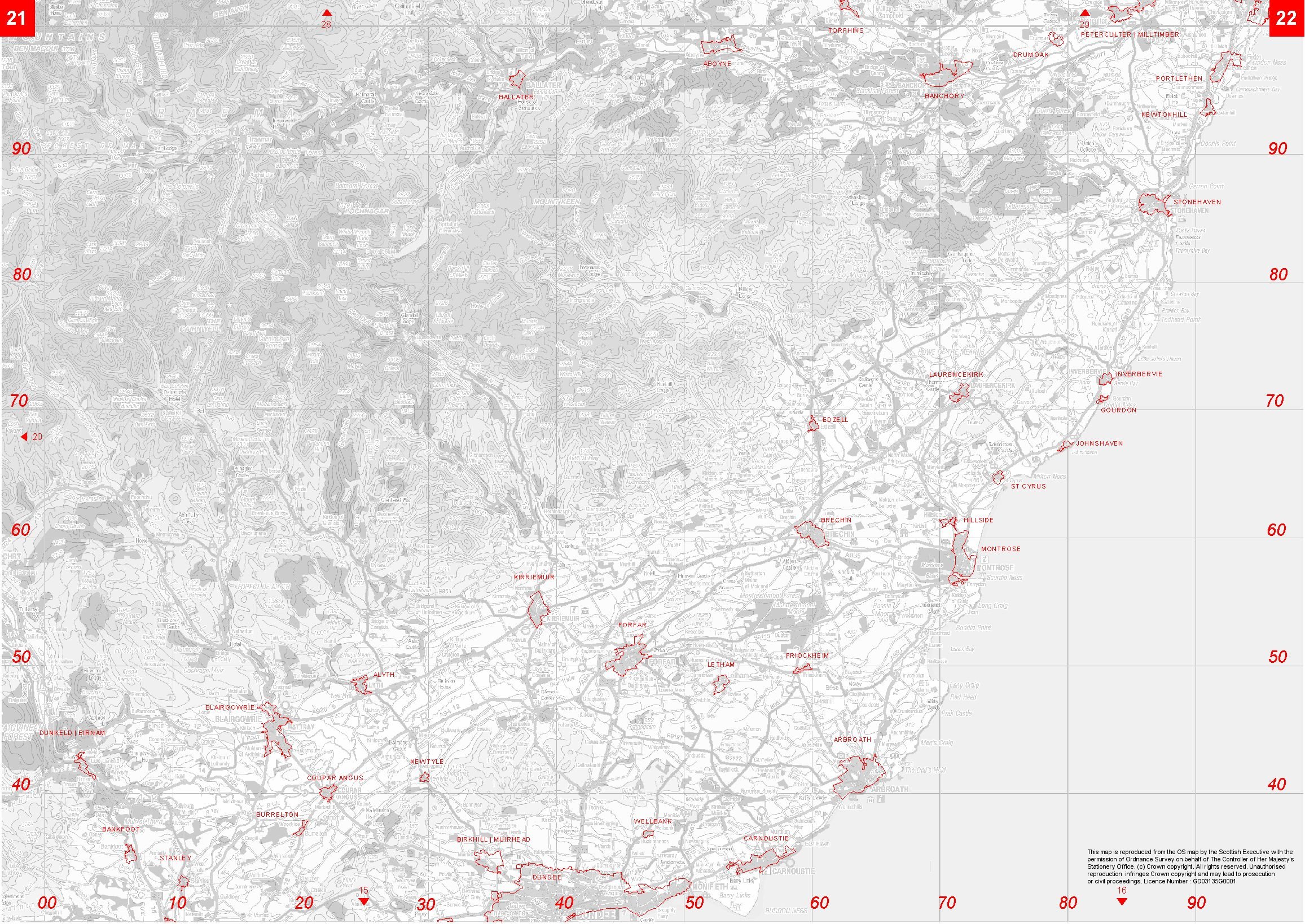
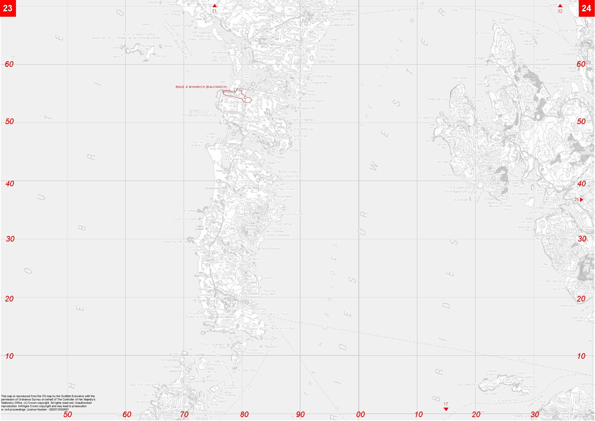
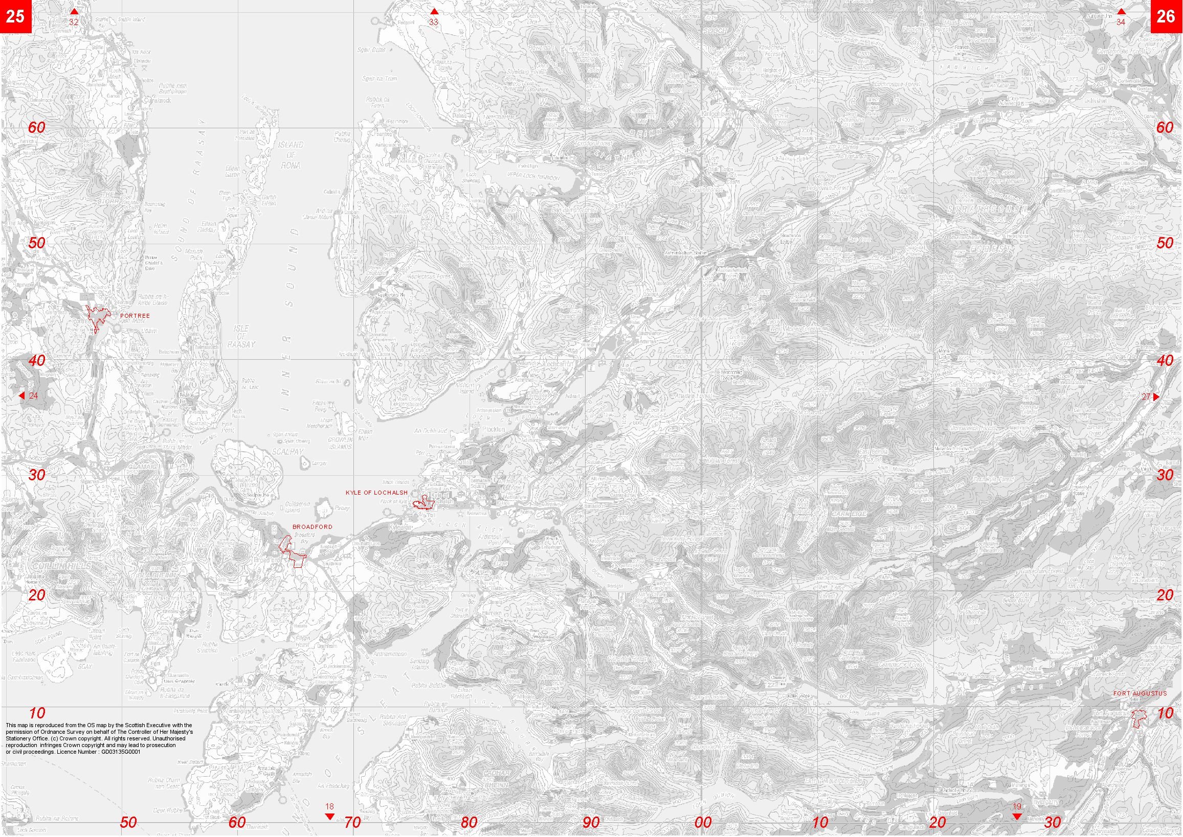
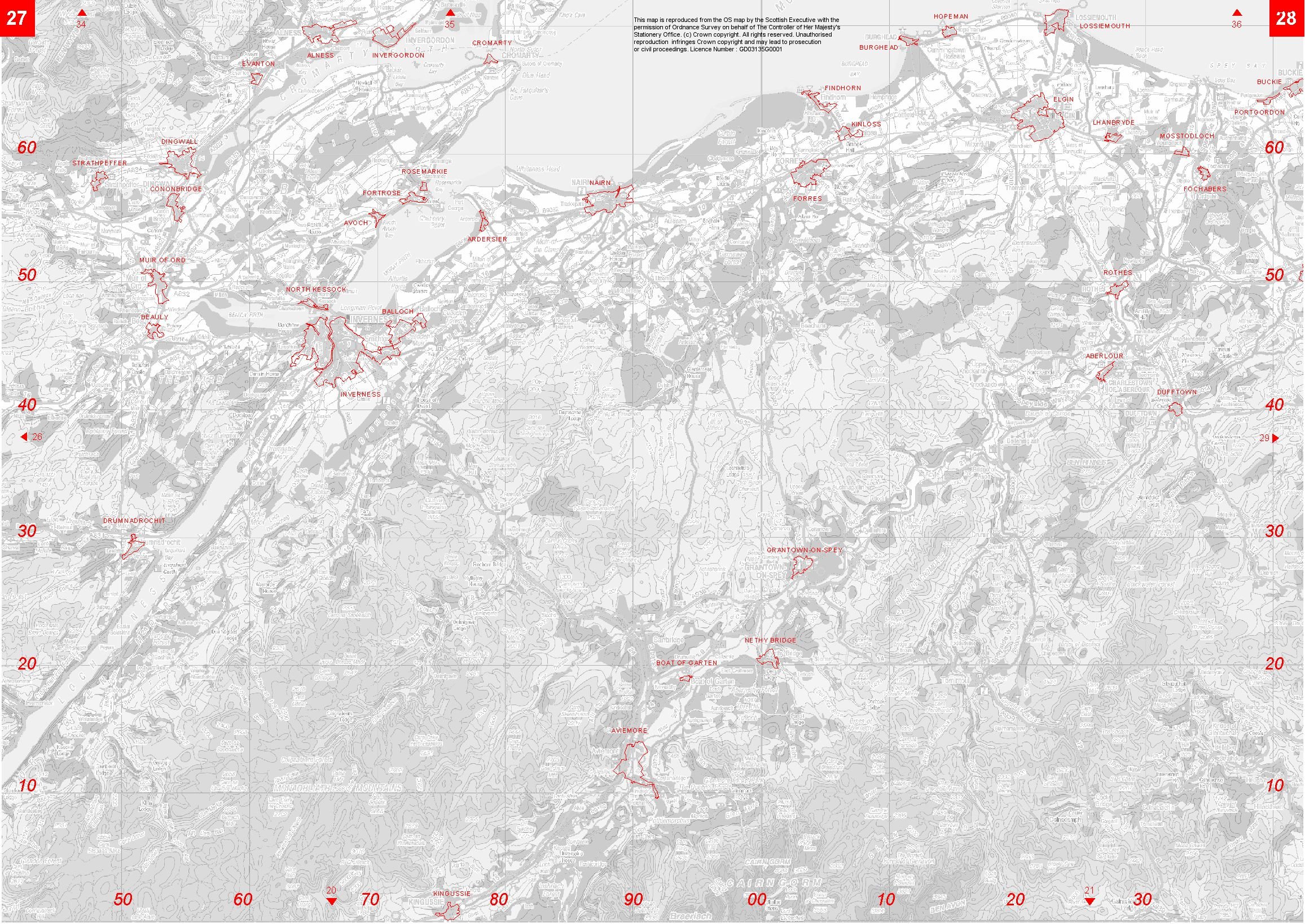
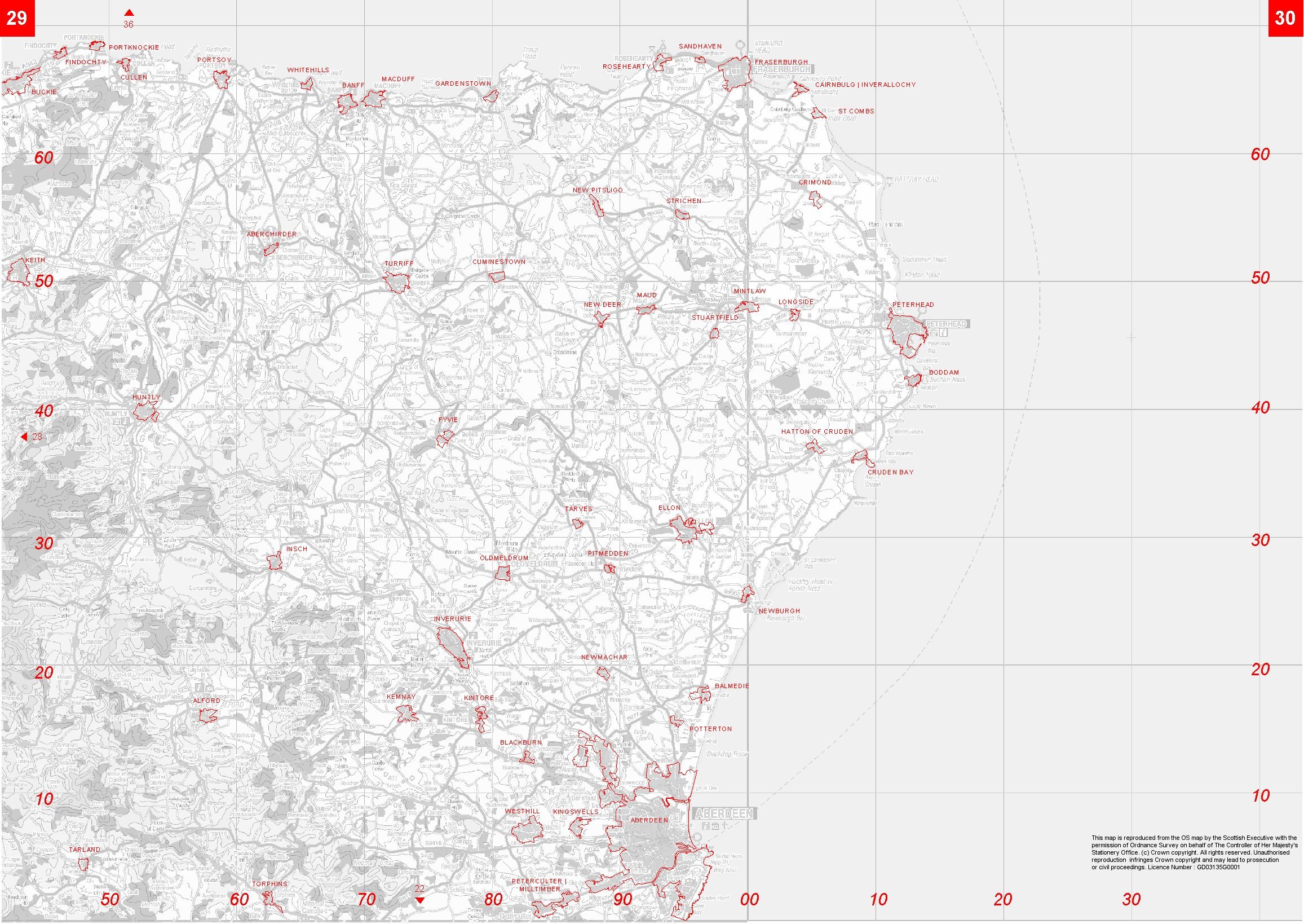
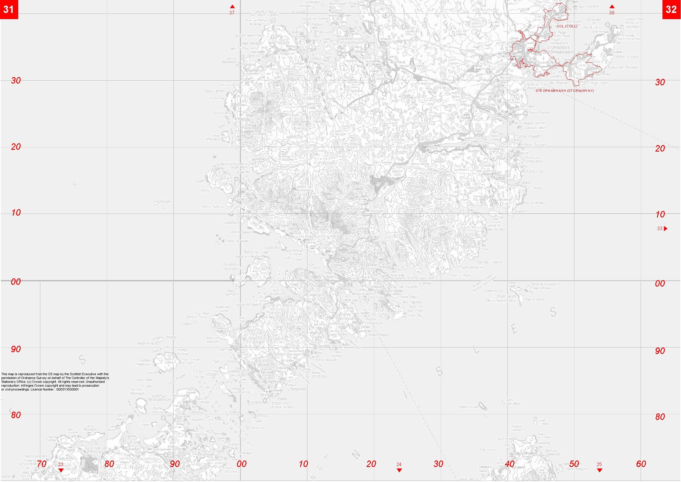
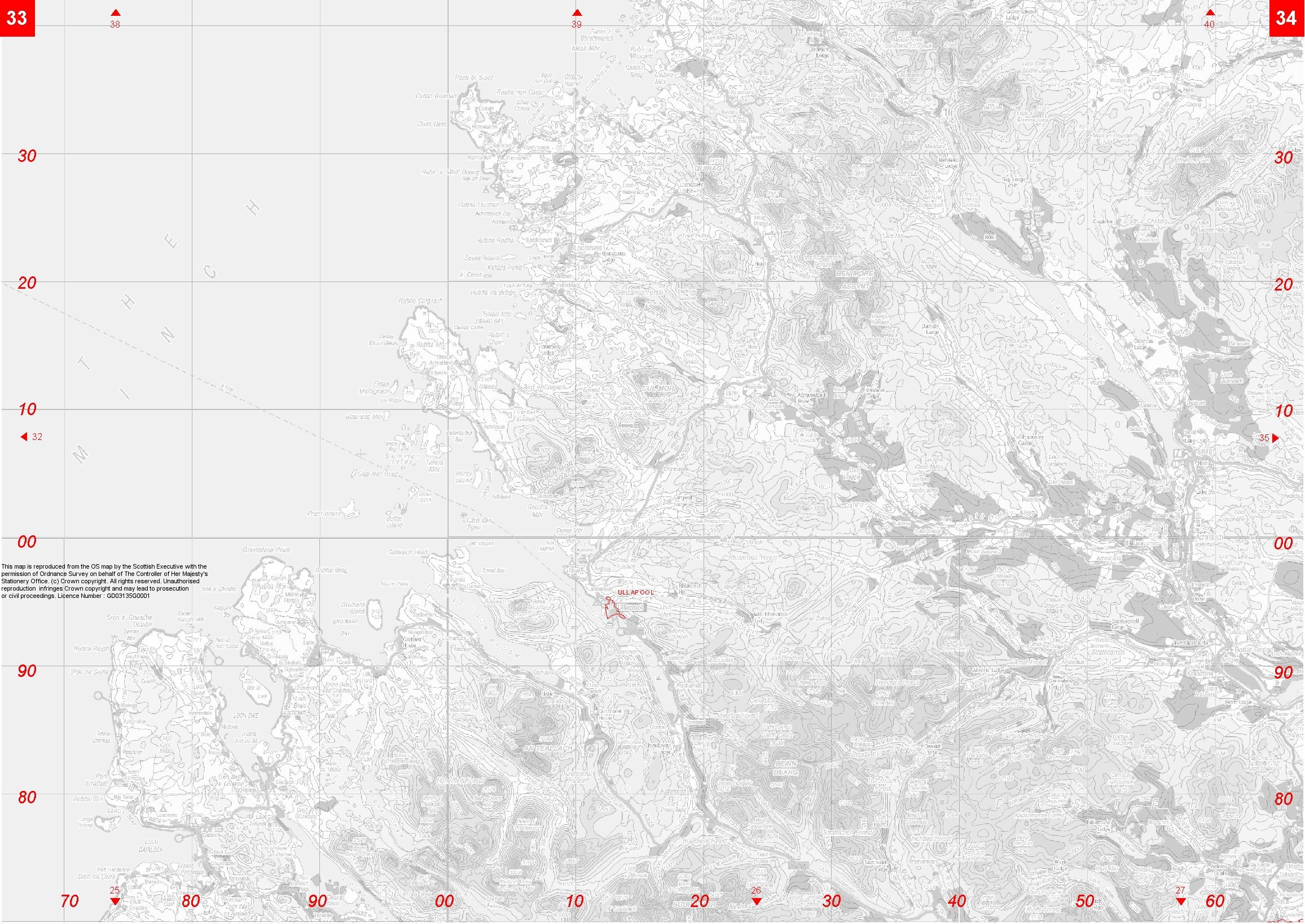
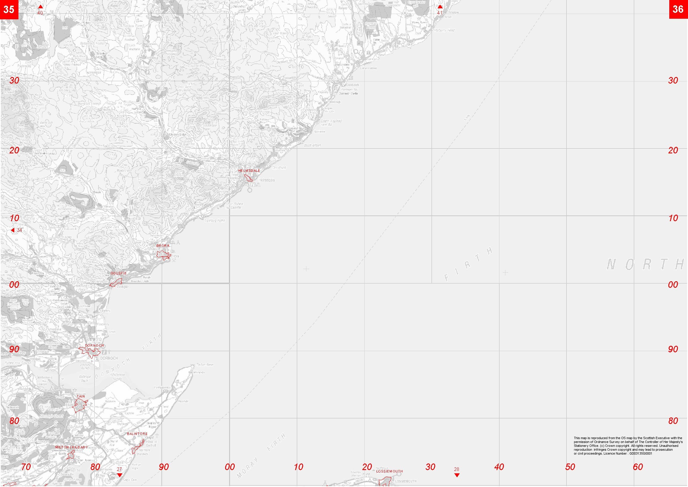
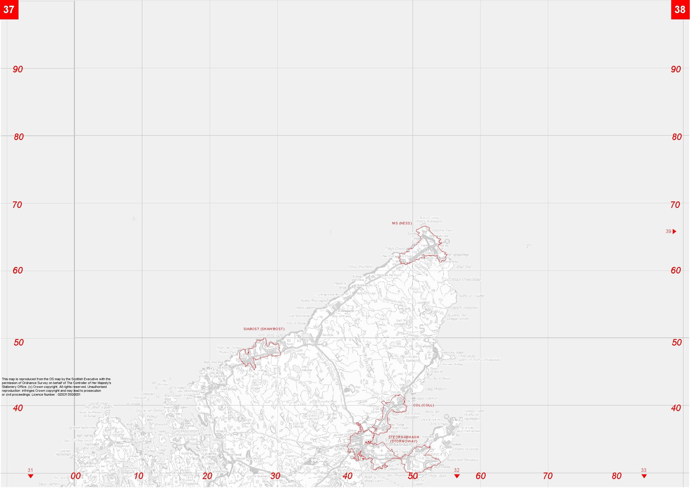
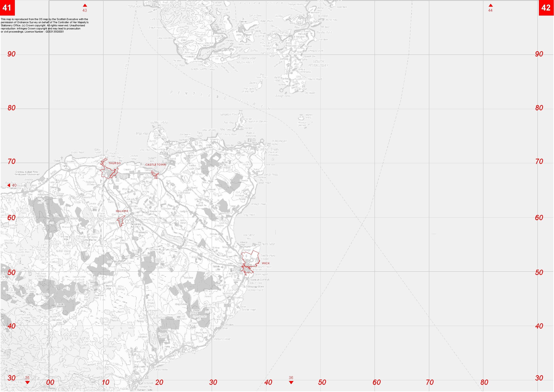
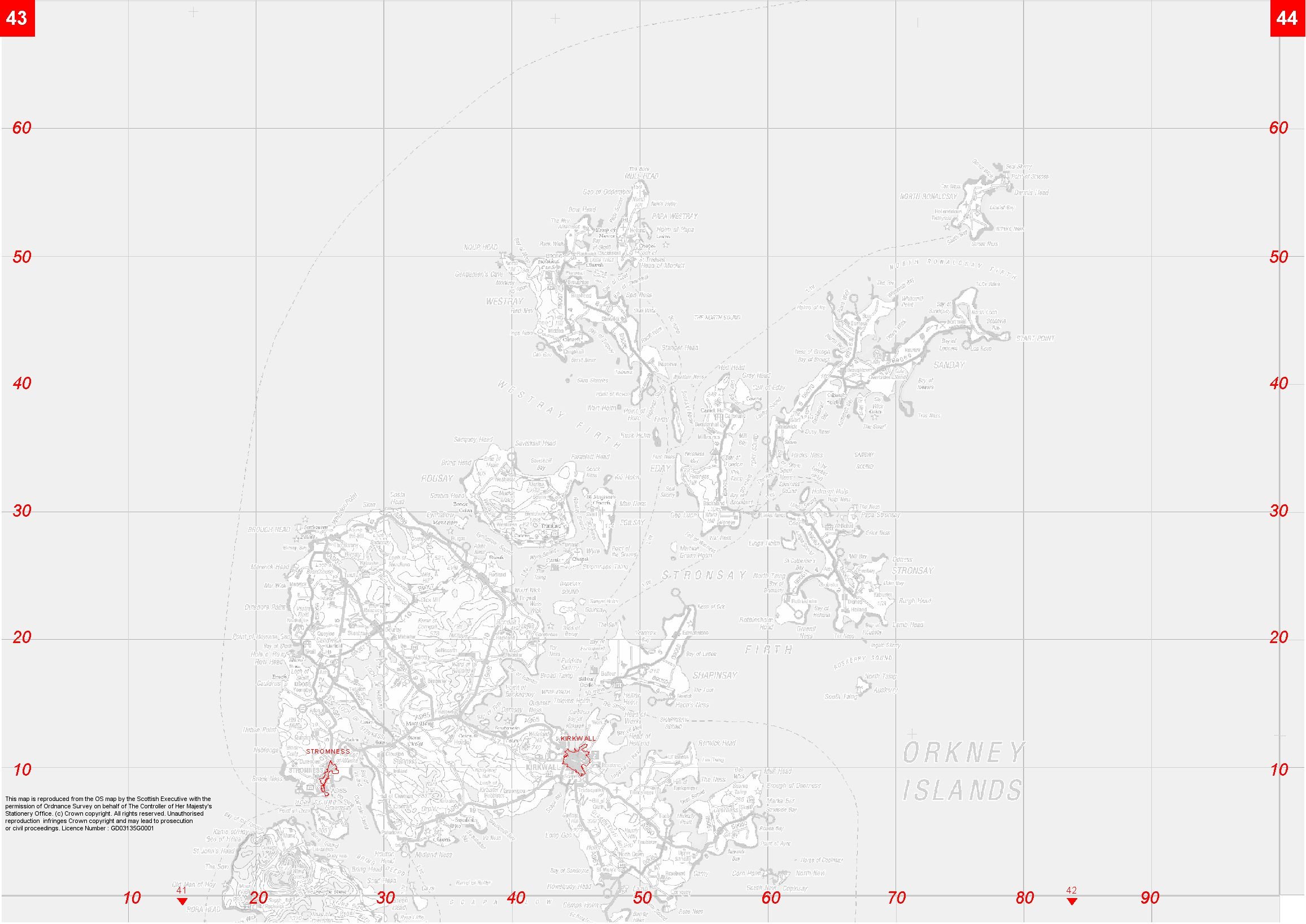
1. The following map section shows the general locations of each of the listed 514 settlements. The settlement boundaries are illustrated by a red outline, and each of their associated settlement names are shown in red uppercase, adjacent to the settlement.
2. To provide a geographic reference the settlements have been mapped against the Ordnance Survey 1:250,000 scale digital backdrop with their kind permission. This background mapping is shown in grey-scale and the definition has been muted to promote the clarity of the settlement boundaries. The Base mapping has Ordnance Survey © Crown Copyright, 2000.
3. These maps are purely illustrative and are provided to identify the general locations of the settlements only. For more specific settlement location queries please see the contact details on page 7.
4. These maps have been produced by the Scottish Government Geographic Information Service, 1 -J88, Victoria Quay, Leith, EH6 6QQ.
The Ordnance Survey Strategy raster map data included within this website is provided by the Scottish Executive under licence from the Ordnance Survey in order to fulfil its public function to publicise Scottish settlements. Persons viewing this mapping should contact Ordnance Survey copyright for advice where they wish to licence Ordnance Survey Strategy data for their own use.
To view a copy of the map(s) click on the appropriate link below. The maps are in jpeg files. Maximum file size is 1,339 Kb.
- Index Map
- Maps 1 & 2
- Maps 3 & 4
- Maps 5 & 6
- Maps 7 & 8
- Maps 9 & 10
- Maps 11 & 12
- Maps 13 & 14
- Maps 15 & 16
- Maps 17 & 18
- Maps 19 & 20
- Maps 21 & 22
- Maps 23 & 24
- Maps 25 & 26
- Maps 27 & 28
- Maps 29 & 30
- Maps 31 & 32
- Maps 33 & 34
- Maps 35 & 36
- Maps 37 & 38
- Maps 39 & 40
- Maps 41 & 42
- Maps 43 & 44
- Maps 45 & 46
- Maps 47 & 48